Tree
Geo
Data
AI-enabled afforestation solutions for a greener future.
Our Mission
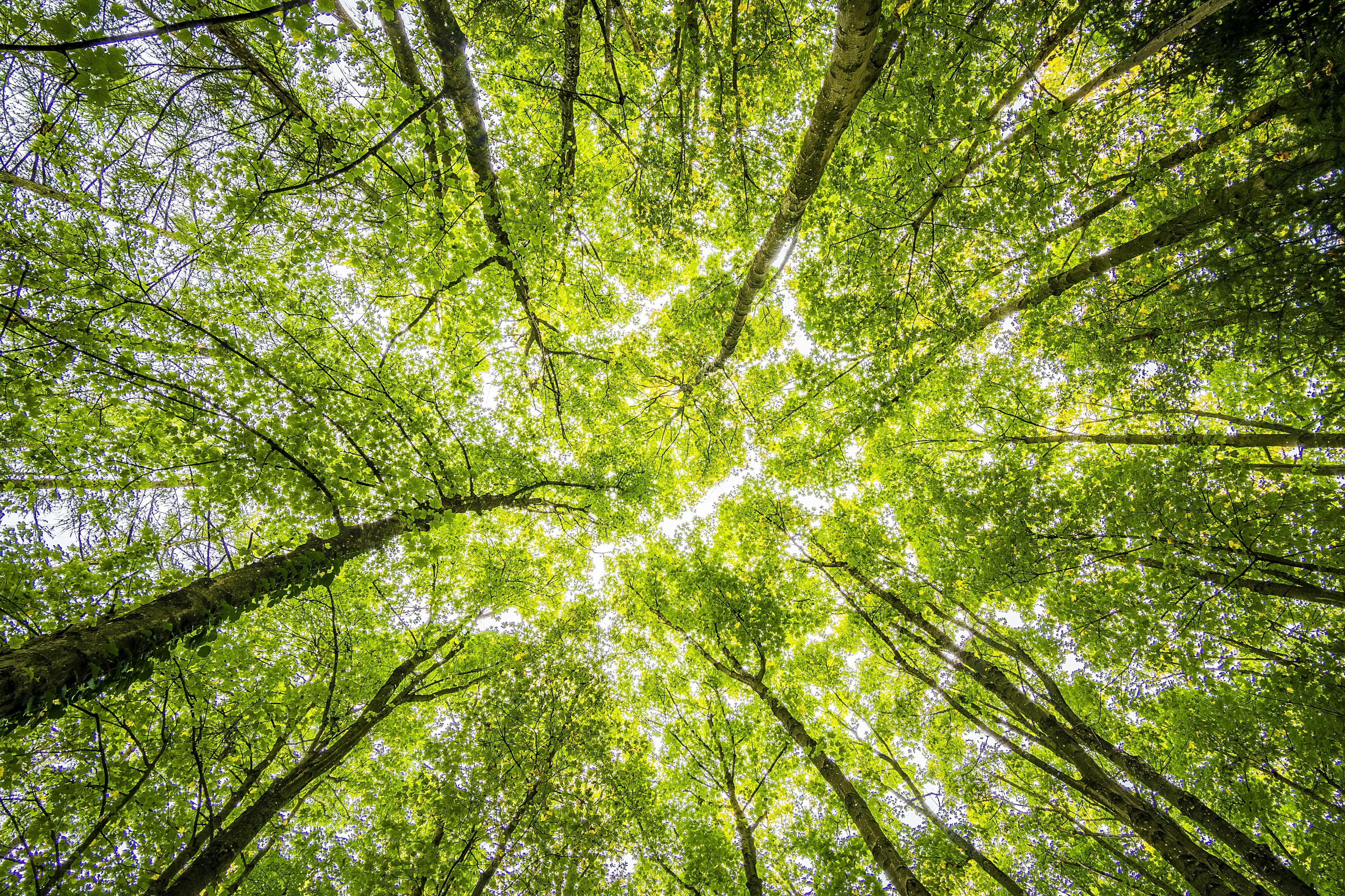
At Tree Geo Data, we're committed to combating desertification through cutting-edge AI technology. Our innovative approach combines satellite imagery analysis and drone footage analysis to monitor and assess tree survival rates. By leveraging artificial intelligence, we're able to track reforestation efforts and develop targeted interventions to preserve our green spaces.


Our Technology
Our AI digital Monitoring, Reporting and Validation (dMRV) system, created in-house, processes high-resolution drone footage and satellite imagery to accurately identify and count trees. This technology enables us to track changes in forest density and assess tree health.


Drag the slider to see the difference between raw drone imagery and our AI model's tracking.
Desert Afforestation Expertise
We revolutionize desert afforestation with our comprehensive approach to maximize tree survival rates. Our services include expert planting guidance, pre-financing, and assistance in obtaining BioDiversity and Carbon Credit Certificates. Through AI-enhanced monitoring and analytics, we provide real-time dashboards and predictive modeling for optimal plant growth in desert conditions. Our solutions help reduce water usage, prevent high replacement costs, and ensure compliance with contractual obligations.


